Aragonese Pyrenees webcams
The ski slopes and mountain towns of the Aragonese Pyrenees, from the Somport pass to Benasque, with the mountain weather and the forecast in each.
Aragonese Pyrenees webcams, place by place 7
No place matches this search.
Photos: authors and licences of the 7 images
- Formigal-Panticosa: es.topsportholidays.com, CC BY-SA 2.0
- Cerler: total 13, CC BY 2.0
- Candanchú: CHV, CC BY-SA 3.0
- Astún: Frank Markesteijn, CC BY-SA 4.0
- Benasque: Basotxerri, CC BY-SA 4.0
- Aínsa: Heparina1985, CC BY-SA 4.0
- Ordesa: Diego Delso, CC BY-SA 4.0
The highest part of the range
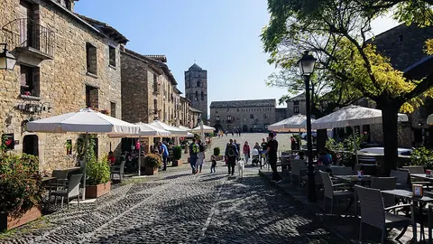
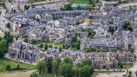
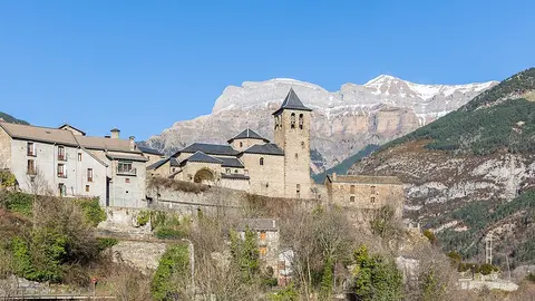
The Pyrenees reach their greatest height in Aragon. Above Benasque rises the Aneto, at 3,404 m (11,168 ft) the highest peak of the whole range, and to the west the Ordesa y Monte Perdido National Park, one of the two oldest national parks in Spain, cuts deep limestone canyons into the mountains. Between them lie stone towns such as Aínsa, whose arcaded medieval square sits on a hill where two rivers meet, and Torla and Broto, the gateways to Ordesa.
Four ski resorts
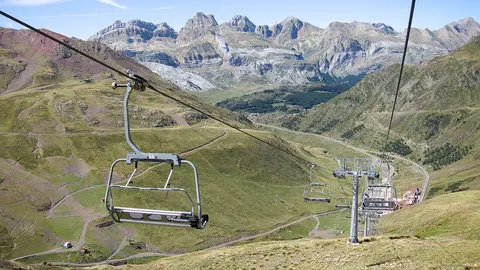
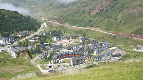
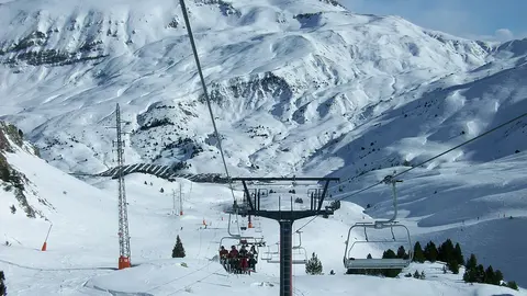
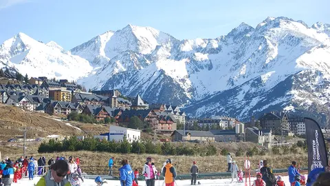
Formigal-Panticosa, in the Tena valley, is the largest ski area in Aragon, and its live cameras look over the slopes and the frontier peaks. Cerler is the resort of the Benasque valley, the highest in the Aragonese Pyrenees. Candanchú and Astún sit side by side just below the Somport pass to France, each with live cameras on its pistes. All of them appear, with every other ski resort on the site, among the ski resort webcams.
When to watch
The Aragonese Pyrenees are one hour ahead of the UK and Ireland. The ski season usually runs from December to Easter; in summer the valleys fill with walkers, and afternoon storms often build over the peaks. Fresh snow, low cloud and wind on the high ridges change from hour to hour, so look at the cameras first thing in the morning and again before you set off.