What you can see on the Cerler webcams
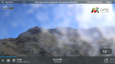
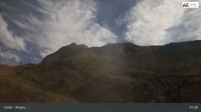
Both cameras are panoramic and turn slowly through a wide arc in each clip. One is set on a terrace halfway up the mountain: it sweeps from the snowy wall of the Maladeta and the Aneto on the skyline, across a wooded summit, to a chairlift climbing grassy slopes where cattle graze outside the ski season. The other is in the Ampriu sector, the upper base of the resort, with its service buildings and the lifts that start there, and the bare ridges above. Time-lapses of the last 24 hours replay the Aneto view and Ampriu.
Cerler webcam from El Bosque, facing the Aneto
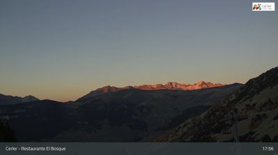
This camera is mounted at the El Bosque restaurant, at about 2,085 m (6,840 ft), in the middle of the ski area. Its sweep opens on the best view in the resort: the snow-streaked wall of the Maladeta massif on the skyline, where the Aneto rises to 3,404 m (11,168 ft), above a deep wooded valley. It then turns past a rounded summit covered in pines to a chairlift climbing the open slope beside the terrace, and ends looking into the sun over the grassy pistes.
Climbers check it for cloud on the Maladeta before setting out; skiers, for snow on the slope by the lift. Out of season, cows graze right under the chairs.
Ampriu, the upper base of Cerler
Ampriu, at about 1,910 m (6,270 ft), is the second base of Cerler, reached by its own road and linked to the village sector by chairlifts. The camera turns from the bare ridges above the sector, across the lift stations and the low service buildings where skiers gear up, to a hillside dotted with pines and pale limestone outcrops.
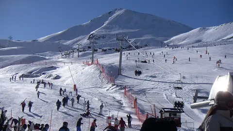
In winter it shows the snow at the foot of the Ampriu lifts and how busy the base area is; when cloud sits low, it is often the first camera to disappear into it. Morning clips start straight into the sun and can be hazy for the first few seconds.
One of the highest resorts in the Pyrenees
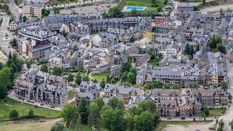
The ski area rises from the village of Cerler, at about 1,500 m (4,920 ft), to about 2,630 m (8,630 ft) at the Gallinero peak, a vertical drop of more than 1,100 m that is among the biggest in the Pyrenees. It has two sectors, Cerler and Ampriu, linked by chairlifts, with around 80 km (50 miles) of marked runs, according to Aramón, the company that runs it. Cerler village keeps its old core of stone houses and slate roofs beside the newer hotels and apartments built for the skiers.
When to watch Cerler
Spain is one hour ahead of the UK and Ireland. The season usually runs from December to April. The cameras face the morning sun on part of their sweep, so the first clips of the day can be washed out; from late morning the view of the Aneto is clearest. Watch for cloud on the Maladeta, which often builds in the afternoon, and for fresh snow on the trees around the El Bosque terrace. In summer the same cameras show the walking country of the Posets-Maladeta Natural Park.
Around Cerler
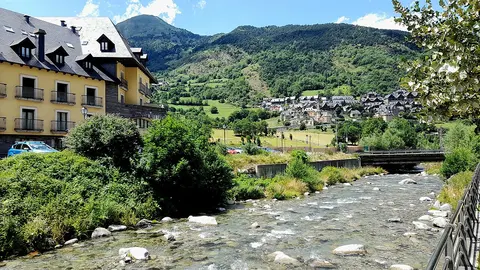
Benasque, 4 miles (6 km) below, is the valley's town, with mountain shops, restaurants and a long climbing history. Further up, the Hospital de Benasque road leads into the natural park, the starting point for the Aneto, at 3,404 m (11,168 ft) the highest peak in the Pyrenees.
Getting to Cerler
The A-139 follows the Ésera valley north from Graus to Benasque, and a mountain road climbs from there to Cerler. The nearest airports with flights from the UK are Zaragoza, about 150 miles (240 km) away, and Toulouse, about 156 miles (250 km) away through the Vielha tunnel. Snow chains are essential in winter.