What you can see on the Barbate webcam
The live camera looks west along the beach from the promenade. The paved seafront and its walkers fill the right of the picture, the sand and the Atlantic the left, and at the far end the harbour wall runs out to sea beneath the pine-topped cliffs of La Breña. It shows at a glance how busy the sand is, whether the sea is flat or breaking white along the shore, and how hard the wind is blowing.
Barbate beach webcam: Playa del Carmen, live
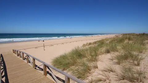
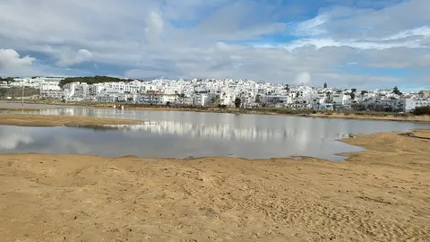
This live camera is mounted above the promenade of Playa del Carmen, Barbate's town beach, and looks west along the seafront. On the left lies the broad, pale sand and the Atlantic; on the right the paved promenade with its walkers, benches and street lamps, backed by white apartment blocks and palms. At the far end the harbour wall reaches out into the sea, and behind it rises the long cliff of La Breña.
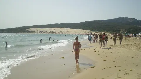
It answers the practical questions at a glance: whether there are towels and parasols on the sand, whether the sea is calm or rolling in white along the shore, and how many people are out for a stroll. The sun is in front of the lens late in the day, so the morning gives the clearest view.
A tuna town
Barbate lives from the sea. Fish was already being salted here in Roman times, and the town is one of the homes of the almadraba, the fixed maze of nets that catches Atlantic bluefin tuna as they swim past on their way into the Mediterranean and back. Tuna is the local pride, with its own gastronomy week, and the harbour of La Albufera, opened in 1961, replaced the old port on the river. From the 1930s until 1998 the town was officially called Barbate de Franco.
When to watch Barbate
Mainland Spain is one hour ahead of the UK and Ireland all year. Because the camera faces west, the late-afternoon sun shines straight into it; mornings and middays give the sharpest picture of the beach. The levante, the easterly wind of the Strait of Gibraltar, can blow for days here.
Around Barbate
Cliffs and pine woods climb west of the harbour into the La Breña y Marismas del Barbate Natural Park, declared in 1989, where the 16th-century Torre del Tajo watchtower looks out from the cliff edge. Beyond it, still within the municipality, lies Cape Trafalgar, about 7 miles (11 km) by road: the Royal Navy under Horatio Nelson defeated the French and Spanish fleet off this headland on 21 October 1805. Zahara de los Atunes, another tuna village, is down the coast to the south-east.
Visiting Barbate
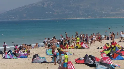
The beach is right in town, with the promenade behind it. Jerez airport is about 56 miles (90 km) by road and Gibraltar about 61 miles (98 km); Tarifa and its kitesurf beaches are about 35 miles (57 km) away.