What you can see on the Ferrol webcam
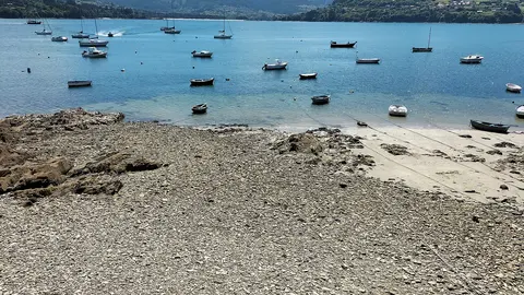
The camera is on Montefaro, a hill across the water in the municipality of Ares, and looks over the woods of the southern shore to the ría, with the shipyards and the Caranza district of Ferrol on the far side and green hills behind. It is a wide, distant view, best for the weather and the light over the water.
Across the ría to Ferrol's shipyards
The broadcaster's camera for Ferrol is not in the city at all but on Montefaro, a wooded hill across the water in the municipality of Ares. From there it looks over the woods and fields of the southern shore to the Ría de Ferrol, the long, sheltered inlet that has made the city one of Spain's great naval ports since the 18th century. In the middle of the far shore lie the shipyards and the Caranza district, with green hills rolling away behind.
It is a distant, fairly small picture, better for the weather than for detail: whether the ría is flat calm or ruffled by wind, whether a band of rain is moving in from the Atlantic, and how clear the air is over the hills.
Ferrol and the British
Ferrol's history is tangled with Britain's. Its sheltered ría made it almost impossible to blockade under sail, and in 1800 a British force landed on the beach at Doniños to attack the Castle of San Felipe, which guards the narrow mouth of the ría; the castle held, and the fleet withdrew. In 1877 the ship carrying Cleopatra's Needle to London, adrift after a storm in the Bay of Biscay, was towed into Ferrol; a plaque at the foot of the Needle on the Thames Embankment remembers the men lost. From 1909 to 1925, British engineers from Vickers, John Brown and Armstrong ran the yards. The English Way, followed by medieval pilgrims who landed here by sea, runs a little over 100 km (62 miles) from Ferrol to Santiago, just enough for the Compostela certificate.
When to watch Ferrol
Ferrol is one hour ahead of the UK and Ireland. The ría is sheltered, so it often lies calm when the open coast is rough, and rain bands sweeping in from the Atlantic are easy to see on the camera. Summer evenings stay light until after 10pm local time.
Around Ferrol
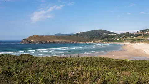
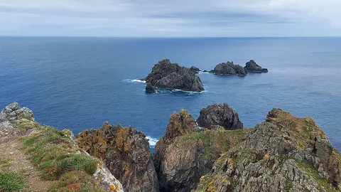
The Castle of San Felipe, at the mouth of the ría, can be visited. To the north, the surf beaches of Valdoviño and the cliffs of the Serra da Capelada begin; to the south-east, the Fragas do Eume natural park protects one of the best-preserved Atlantic forests in Europe.
Getting to Ferrol
Santiago de Compostela airport, with flights from the UK and Ireland, is about 60 miles (95 km) away. Ferrol has trains to A Coruña and the narrow-gauge line along the north coast, and many pilgrims begin their walk from the harbour.