What you can see on the Cariño and Cabo Ortegal webcams
The regional weather service has two still cameras here. One looks over the rooftops of Cariño to its harbour and the mountains above the ría; the other stands by the Punta Candieira lighthouse at the far end of the Serra da Capelada, looking down the steep coast towards Cedeira. Neither shows the cape itself, which lies about 3 miles (5 km) north of the village, but together they give a good picture of the weather on this exposed corner of Spain.
Cariño, the last harbour before Cabo Ortegal
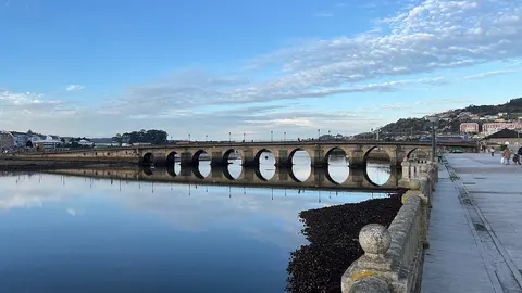
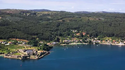
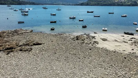
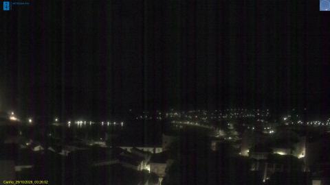
MeteoGalicia's weather station in Cariño looks south over the village's tiled roofs. On the left, harbour pontoons and moored boats sit in the sheltered water of the Ría de Ortigueira, with a pale curve of beach beyond; behind, steep, wooded mountains close the view. Cabo Ortegal itself is about 3 miles (5 km) to the north, out of sight behind the camera.
Because it faces south, the sun shines into the lens around the middle of the day and the picture can flare; morning and evening are clearer. Use it for the sky and the wind on the water before driving up to the cape, where the wind is often far stronger than in the shelter of the village. Still image, not video.
The Capelada coast from Punta Candieira lighthouse
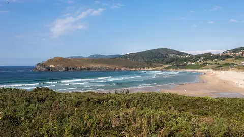
This weather station stands beside the Punta Candieira lighthouse, some 250 m (820 ft) up at the western end of the Serra da Capelada, the range whose sea cliffs climb to more than 600 m (2,000 ft) at Vixía Herbeira on the way to Cabo Ortegal. It lies about 9 miles (15 km) south-west of Cariño, in the municipality of Cedeira, and looks south-west: steep grassy slopes fall away on the left, the coast fades towards Cedeira, and the open ocean fills the right of the frame.
In the afternoon the sun is in front of the camera and the picture is full of flare; in the morning it is clear and shows the swell breaking white at the foot of the slopes. Still image, not video.
Cliffs, stacks and wild horses
At the tip of the cape, three jagged sea stacks called Os Aguillóns stand off the lighthouse, white with surf on most days; local percebeiros risk the swell to gather goose barnacles from rocks like these. West of Cariño the Serra da Capelada rises straight from the sea, and at Vixía Herbeira its cliffs top 600 m (about 2,000 ft), the highest sea cliffs in mainland Europe. Wild horses graze the open tops, and the hamlet of San Andrés de Teixido, on the way to Cedeira, is a pilgrimage site of its own: a Galician saying holds that whoever does not go there alive will have to go when dead.
When to watch Cabo Ortegal
Cariño is one hour ahead of the UK and Ireland. Both cameras face roughly south and west, so the morning gives the clearest pictures and the afternoon sun can flood them with glare. Low cloud can hang on the Capelada even on fine days; when the tops are clear, the drive along the ridge is unforgettable.
Around Cabo Ortegal
Ortigueira lies across the ría, with its marina and summer Celtic festival, and Estaca de Bares, the northernmost point of Spain, is a short drive further east. To the south-west, the Capelada road leads past San Andrés de Teixido to Cedeira and its long beach.
Getting to Cabo Ortegal
Santiago de Compostela airport is about 83 miles (133 km) away, and Ferrol about 34 miles (55 km). A narrow road climbs from Cariño to the lighthouse at the cape, with a car park and paths to the viewpoints. Take care near the edges: the cliffs are unfenced and the wind can be fierce.