What you can see on the Cíes Islands webcams
The regional weather service has three still cameras on the islands. One looks along Rodas beach and its lagoon from the hillside at the southern end; the other two stand high up near the lighthouse, one facing north along the Atlantic cliffs and the other south to San Martiño. Between them they answer the question that matters before a day trip: is it clear out there?
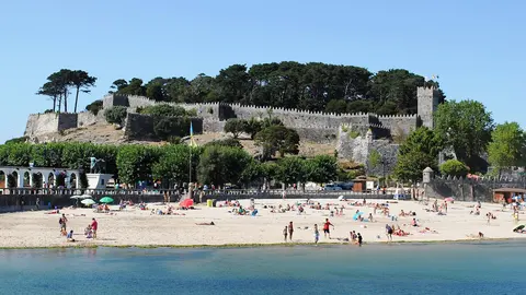
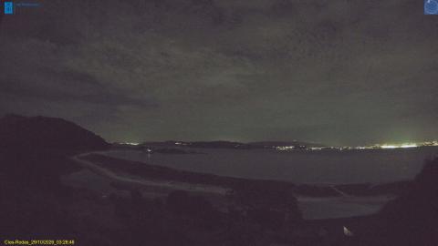
Rodas beach and its lagoon from the hillside
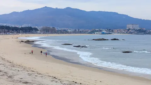
MeteoGalicia's main camera on the Cíes stands on the hillside at the southern end of Praia de Rodas, above the roofs of the few buildings by the beach. It looks north along the whole curve of white sand, about 1.2 km (three-quarters of a mile) long, that ties Illa do Faro to Monteagudo. On the left, behind the sand bar, lies the shallow lagoon that fills and drains with the tide; on the right is the calm water of the ría, with yachts at anchor and the hills of the mainland on the far shore.
Use it to judge the day before catching a boat: a sharp mainland skyline means clear air, while sea mist can hide the islands even when Vigo is in sunshine. It is a still image, not a video: reload for the latest one.
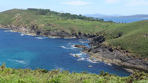
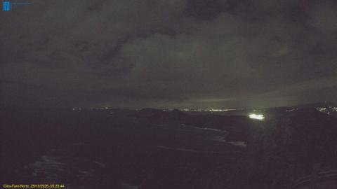
The Atlantic side of the islands, from the lighthouse
High on Illa do Faro, beside the path to the lighthouse, this camera faces north along the side of the Cíes that takes the full force of the Atlantic. On the right, granite crags splashed with orange lichen drop into the sea; beyond them, the western cliffs of Monteagudo, more than 100 m (330 ft) high, run out towards the open ocean, and the hills of the Morrazo peninsula on the mainland close the view far to the right. A white handrail at the bottom marks the viewpoint, and walkers who have made the climb sometimes sit in the corner of the frame.
This is the camera for the sea: the lines of white water at the foot of the cliffs show how big the swell is, and on clear days the horizon is knife-sharp. Still image, not video.
San Martiño, the southern island
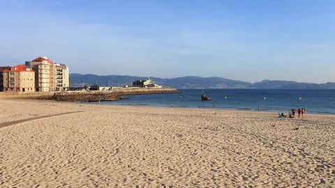
The second camera near the lighthouse looks the other way: south across the channel to San Martiño, the southernmost of the three islands, whose little crescent of white sand shows at the foot of its slopes. Beyond it, the mainland coast towards Baiona lines the horizon.
Because it faces south, the camera looks almost into the sun from late morning to mid-afternoon, when the islands turn to silhouettes and the sea to glitter. Early morning and evening give the clearest view. The white fringe of surf around the rocks shows how much swell is running, and banks of sea mist drifting through the channel are easy to spot. Still image, not video.
The best beach in the world?
In February 2007 The Guardian named Praia de Rodas the best beach in the world, and the description still fits: a curve of fine white sand about 1.2 km (three-quarters of a mile) long, joining Monteagudo to Illa do Faro, with a calm lagoon behind it. The islands are a nature reserve, not a resort. Visitor numbers are limited, there are no litter bins (you take your rubbish back with you), and the only facilities are a restaurant, a shop, a visitor centre and a campsite. The western cliffs, more than 100 m (330 ft) high, hold one of the main colonies of yellow-legged gulls on the Atlantic coast.
When to watch the Cíes Islands
Like the rest of mainland Spain, the islands are one hour ahead of the UK. Sea mist is the thing to look for: it can hide the Cíes completely while Vigo is in sunshine, and it often thins as the day warms up. The north-facing camera shows the swell on the open side; the Rodas camera shows whether the anchorage is calm. In the evening the sun sets behind the islands as seen from the mainland, and the lighthouse camera catches the last light on the cliffs.
Around the Cíes Islands
Passenger boats run in the summer season from Vigo, Cangas and Baiona, and the crossing takes under an hour. Ons, the national park's other large island, lies further north at the mouth of the Ría de Pontevedra.
Visiting the Cíes Islands
To land in the busy season you need a free authorisation from the Galician government, and then a boat ticket linked to it; for July and August, book both well ahead. Take water, food and sun cream, wear proper shoes for the paths up to the lighthouses, and remember that the sea here is chilly even in August.