What you can see on the Morro Jable webcams
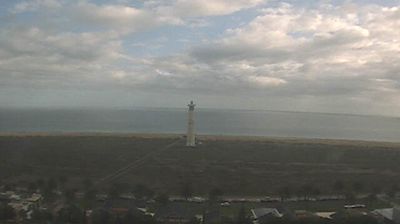
The first camera looks out from a rooftop above the town, over palms and flat roofs to the bay, where yachts and catamarans ride at anchor on calm blue water. It streams live, and a 24-hour time-lapse of the same view sits alongside it. The second camera looks across the low houses at the edge of town and the salt marsh behind the beach to the white tower of the lighthouse, with the sea behind it, and is a useful check on the sky and the wind.
Morro Jable bay from the rooftops
Mounted on a rooftop above the town, this camera looks out over Morro Jable to its bay. In the foreground are palms, a jumble of white and ochre buildings and flat roofs; beyond them the water opens out, with sailing yachts and catamarans riding at anchor and the open sea stretching to a clear horizon.
It streams live, and alongside it there is a time-lapse of the last 24 hours from the same camera. The boats tell you a lot: when they swing gently on calm blue water, the bay is sheltered from the wind, and a sharp horizon usually means a bright, clear day.
Morro Jable lighthouse across the salt marsh
This camera looks across the eastern edge of Morro Jable, over a row of low houses and the green flat of the salt marsh behind the beach, to the tall white tower of the Morro Jable lighthouse. Behind it lie the sand of Playa del Matorral and the open sea.
At 59 metres, the lighthouse is the tallest in the Canary Islands, and it makes the view easy to recognise. Its pictures from the past day play back as a time-lapse. The sky takes up much of the picture, which makes it useful for watching the clouds build or clear over the south of Fuerteventura.
The tallest lighthouse in the Canaries
The Faro de Morro Jable, completed in 1991, rises 59 metres from the edge of the beach, taller than the lighthouses of Maspalomas on Gran Canaria and Pechiguera on Lanzarote. Its light, 62 metres above the sea, shows two white flashes every ten seconds and can be seen 17 nautical miles away. It is sometimes confused with the much older Punta de Jandía lighthouse, which stands at the far western tip of the peninsula, about 14 miles (22 km) away by road. Morro Jable itself is young: the first house is said to have been built in 1899, and the town grew from fishing to tourism in the second half of the 20th century.
When to watch Morro Jable
Fuerteventura keeps the same time as the UK and Ireland. The town faces south, with the Jandía mountains at its back taking the edge off the north-east trade wind, so the bay is often calm when the rest of the island is breezy. The morning light is clearest over the water; in the evening the sun drops behind the mountains to the west.
Around Morro Jable
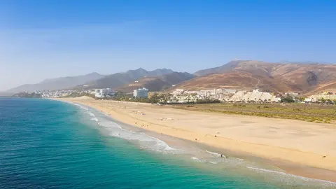
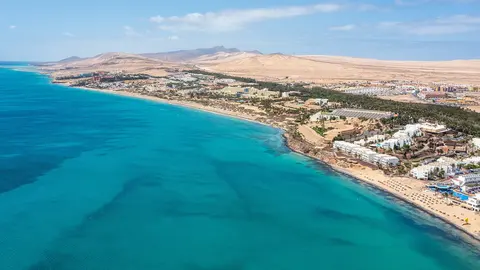
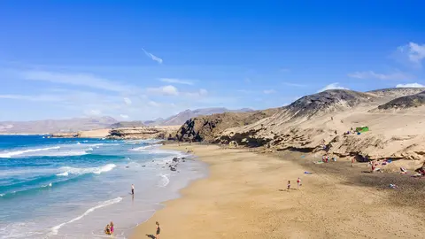
The beach runs east from the town for several miles past the lighthouse towards the resort area of Jandía. Behind the mountains, a dirt track leads to the wild beach of Cofete and the Villa Winter, and most of the peninsula is a natural park.
Visiting Morro Jable
Fuerteventura airport is about 40 miles (65 km) away as the crow flies, so allow time for the transfer. The harbour at the western end of town is the base for boat trips, and the calmest swimming is on the beach nearest the town.