What you can see on the Pontevedra webcam
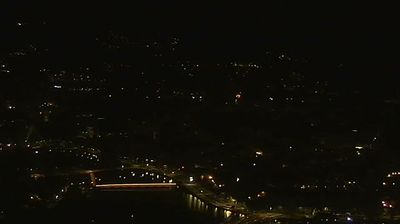
A fixed camera on Monte da Tomba looks over the city from the river: the marina and the white arch of the Ponte das Correntes in front, the medieval Ponte do Burgo and the Ponte Nova in the middle, and the red roofs of the centre spreading to the hills. A 24-hour time-lapse of the same view follows the live picture.
Pontevedra and the river Lérez from Monte da Tomba
From Monte da Tomba, a hill on the edge of the city, this fixed camera of Galicia's public broadcaster takes in most of Pontevedra. In the foreground the river Lérez curves past a road junction and the boats of the marina; the white arch of the Ponte das Correntes spans it on the right, while in the middle of the picture the stone arches of the medieval Ponte do Burgo and the Ponte Nova link the two banks. Beyond, the red roofs of the centre spread towards the green hills that ring the city.
Pilgrims on the Portuguese Way leave Pontevedra across the Ponte do Burgo, the bridge that gave the city its name. The picture is small and distant, so it is best for the weather and the light: low cloud on the hills, morning mist over the river or a clear evening.
The city that banished the car
In 1999 Pontevedra began closing its old town to traffic, and the centre is now almost entirely pedestrian, with a 10 km/h limit for the few vehicles allowed in. Its Metrominuto, a map drawn like a metro diagram that shows walking times between landmarks, has been copied by cities across Europe, including the Angel district of London. The pedestrian streets lead to the Peregrina, the pilgrims' church, whose floor plan is shaped like a scallop shell, the symbol of St James. Back when Pontevedra was Galicia's leading port, the Santa María, Columbus's flagship in 1492, is said to have been built in its shipyards.
When to watch Pontevedra
Pontevedra is one hour ahead of the UK and Ireland. The Fiestas de la Peregrina, in August, bring music and fireworks to the centre. The camera is a good guide to the weather in the whole of the Rías Baixas: cloud on the hills behind the city, mist over the river on cool mornings and the long, clear light of summer evenings.
Around Pontevedra
Combarro, a few miles along the north shore of the ría, has granite hórreos, the raised granaries of Galicia, lined up right at the water's edge. The beaches of Sanxenxo are about half an hour west, and O Grove and A Toxa lie beyond.
Getting to Pontevedra
Santiago de Compostela airport, with flights from the UK and Ireland, is about 50 miles (80 km) north. Trains link Pontevedra with Santiago, A Coruña and Vigo. On foot, the Portuguese Way takes about three days from Pontevedra to Santiago.