What you can see on the Laredo webcams
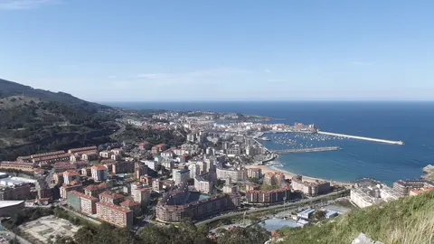
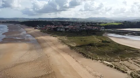
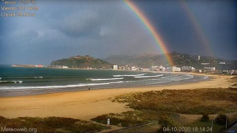
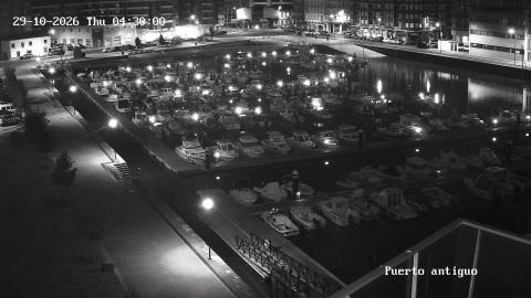
The beach camera takes in a wide stretch of La Salvé and the water of the bay: the waves rolling in, the width of the sand at each stage of the tide, the seafront buildings and the green headlands around the bay. Its live picture carries a small weather panel with the temperature, the wind and the rainfall from a local station, so you can check the conditions as well as see them. A second camera, from the regional ports service, looks down on the old harbour, its pontoons full of small boats and the promenade alongside.
Laredo webcam: La Salvé beach and the bay
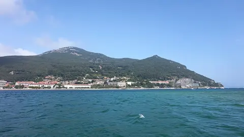
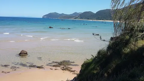
This camera is run by Meteoweb, a small weather website with stations in Laredo and Vitoria-Gasteiz, and streamed live on YouTube. It gives a broad view over La Salvé beach and the bay: the sand in front, the waves rolling in from the left, the town's seafront buildings and the green headlands around the water. It does not keep still: it turns and zooms through a tour of the bay, from the long sweep of sand towards the harbour and the town, to close-ups of the seafront and across the water to the cliffs of Monte Buciero.
A panel in the top corner shows the temperature, the wind direction and speed and the rainfall from the website's own weather station, which makes it more useful than most beach cameras for deciding whether it is a beach day or a walking day. The bay is sheltered by Monte Buciero, so the camera often shows gentle waves here when the open coast is rough.
Laredo harbour webcam: the old port and the promenade
This high, wide camera from Puertos de Cantabria looks down on the old harbour of Laredo, at the eastern end of town beside the fishermen's quarter and the Puebla Vieja. Its pontoons are packed with small motor boats, a few yachts among them, and on calm days the water between them mirrors the hulls. On the left, a paved promenade runs the length of the basin between the water and a strip of lawn, and behind the harbour stand the blocks of flats of the town.
It complements the beach camera on this page: where La Salvé shows the waves and the sand, this one shows the sheltered side of Laredo, and the number of people walking along the promenade says a lot about the weather in town. It is a still image: the refresh button brings the latest one.
The beach and the old town
La Salvé runs for about 4,250 metres (2.6 miles) from the old harbour to El Puntal, the sandy point that faces Santoña across the mouth of the bay. With Regatón beach beyond it, along the estuary of the Asón, it forms the longest stretch of sand in Cantabria. At the other end of town, the Puebla Vieja climbs the hill in six medieval streets, a legacy of Laredo's days as one of the four great seafaring towns of the Cantabrian coast; it has been a protected historic quarter since 1970. On the last Friday of August the Battle of Flowers fills the streets with floats covered in fresh blooms, a tradition that goes back to 1908.
When to watch Laredo
Laredo is one hour ahead of the UK and Ireland. The bay is sheltered from north-westerly winds by the bulk of Monte Buciero above Santoña, which is why the water off La Salvé is often calm when the open coast is rough. Summer days are warm but rarely hot; winter brings dramatic skies and empty sand.
Around Laredo
Santoña, famous for its anchovies, sits across the bay below Monte Buciero. Noja's beaches lie a short drive further west, and Castro Urdiales is along the coast to the east.
Visiting Laredo
La Salvé is wide and shelves gently, so it suits families, and lifeguards patrol it in season. When the wind blows, windsurfers and kitesurfers gather towards El Puntal.