What you can see on the Cerdanya webcams
The views are wide. From the villages on the south side of the plain, the cameras look north to the rooftops of Puigcerdà on its ridge and to the mountains along the French border, and north-west across the fields to the high ridge that closes the valley. From the other side, above Llívia, the view runs south over a patchwork of meadows to the peaks on the southern rim. Another camera looks over the stone and slate houses of Bolvir. Several of these cameras belong to local weather enthusiasts and print the temperature and the wind on the picture.
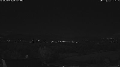
Puigcerdà on its hill, from Queixans
Mounted on a house in Queixans, a village on the south side of the Cerdanya plain, this camera looks north. Below it are the rooftops of the village and a broad stretch of meadows and woods; in the middle of the picture, on a low ridge, stand the houses of Puigcerdà, about 2½ miles (4 km) away, and behind them rises the long line of mountains along the French border. It belongs to a local weather station, which prints the date and time at the top of each picture.
It is the best camera here for the town itself, and for seeing whether the border peaks are clear or wrapped in cloud. It comes through Windy as a time-lapse of the day.
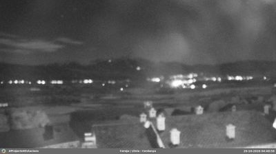
The Cerdanya plain from Llívia
This camera stands on a rooftop in Cereja, a hamlet of Llívia on the north side of the valley, and looks across the whole Cerdanya towards its southern side. In the foreground are the slate roofs of the hamlet; beyond, a patchwork of green fields, hedges and copses stretches across the flat floor of the valley to a line of mountains on the far side, with higher summits on the skyline.
It is the widest view of the plain on this page, good for seeing frost or mist lying on the fields in the morning and how much snow has fallen on the southern mountains. It comes through Windy as a time-lapse of the day.
The village of Bolvir
This camera looks north-west across the village of Bolvir, a few miles west of Puigcerdà. The houses, most with dark slate roofs and stone walls, spread across a low terrace among trees, with a church tower among them, and behind them rise the rounded, open hills of the north side of the Cerdanya. The foreground is scrub and a sandy track.
It shows a typical village of the plain at close range, which makes it useful for seeing snow on the roofs and fields, and how the sun lies over the valley. It comes through Windy as a time-lapse of the day.
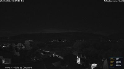
North-west across the Cerdanya from Queixans
A second camera of the same weather station in Queixans looks north-west, over the stone houses of the village and a band of autumn-coloured woods, to the high, bare ridge on the north side of the valley, between Isòvol and Guils de Cerdanya, as its caption says. A small box in the corner gives the temperature, humidity, pressure and wind.
The ridge is high enough to catch snow early in the season, so this view tells you when winter has arrived in the mountains around the plain. It comes through Windy as a time-lapse of the day.
A valley shared by two countries
The Cerdanya receives about 3,000 hours of sunshine a year, which is why France built its pioneering solar furnaces on its side of the valley. Puigcerdà was founded in 1178 and today runs straight into the French town of Bourg-Madame. Llívia is an oddity: a Spanish town completely surrounded by France since the Treaty of the Pyrenees of 1659, which handed France the villages of the valley but not Llívia, because it was a town. A road a mile (1.6 km) long links it to the rest of Spain. On the southern side of the plain are the ski slopes of La Molina and Masella, which have their own pages under Ski Resorts.
When to watch La Cerdanya
The Cerdanya is one hour ahead of the UK and Ireland. On clear winter nights cold air settles on the plain, so mornings can start with frost or low mist over the fields before the sun burns it off. In summer, cloud builds over the peaks in the afternoon. After a winter storm, the cameras show at a glance how much snow lies on the plain and on the mountains around it.
Around La Cerdanya
Puigcerdà's lake, lined with 19th-century villas, is a short walk from the old centre. Llívia keeps a medieval pharmacy in its town museum and the ruins of its castle on the hill. To the south-west rises the Serra del Cadí, part of the Cadí-Moixeró Natural Park, and trains still cross the border to France through the valley.
Visiting La Cerdanya
Barcelona and Girona airports both have flights from the UK, and both are about 2¼ hours away: Barcelona about 99 miles (159 km) through the Cadí tunnel, Girona about 97 miles (156 km). Toulouse is about 114 miles (184 km). Regional trains run from Barcelona to Puigcerdà.